Mangrove Restore
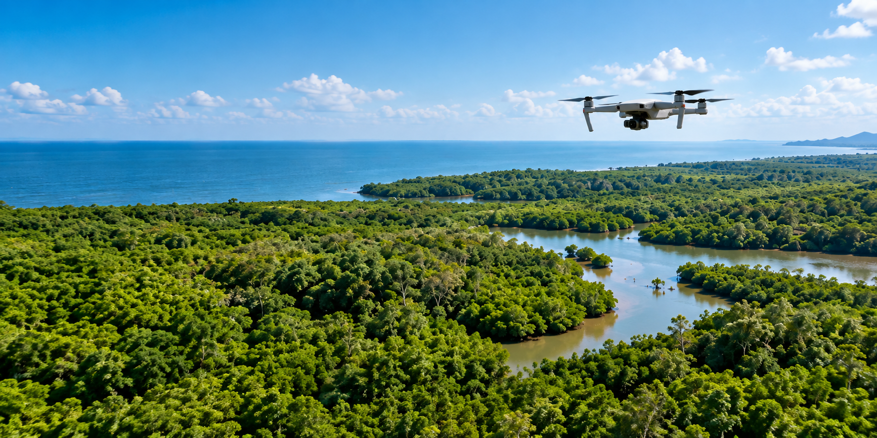
Aerial view of a coastal mangrove forest with a survey drone flying above it
Aerial drone systems for coastal restoration

Mangrove restoration at scale, with precision

We use drones to map terrain, disperse propagules, and track growth — cutting the time and cost that have long held mangrove recovery back.

Progress

Where the programme stands

These figures are refreshed every month from field reports and drone survey results.

Open the progress page

About

Four pillars of the work

Each stage is designed to keep restoration fast, measurable, and accountable.

Precision mapping

Drones survey substrate, tidal patterns, and land cover to pinpoint where planting will actually succeed.

Propagule dispersal

Coordinate-guided dispersal reaches deep mudflats that are slow and risky for ground crews.

Regular monitoring

Monthly re-flights measure survival rates without walking every plot by hand.

Field collaboration

Coastal community groups run the work on the ground and hold a direct stake in the outcome.

Why drones change the arithmetic

Why drones change the arithmetic

Conventional methods compared with a drone-based approach across the same area.

How the method works
Time to map 20 ha
Manual method 14 days
With drones 2.5 days
−82%
Cost per hectare
Manual method IDR 18.4M
With drones IDR 6.6M
−64%
Coverage per day
Manual method 1.4 ha
With drones 34 ha
24×

News

Latest updates

Field notes, technical developments, and stories from the coastal communities involved.

All news

Let us restore the coast together

Back the mapping, planting, and monitoring that bring coastal ecosystems back into function.